Why you should experience Prospect Point Lookout in Vancouver, British Columbia.
Prospect Point Lookout is a historic Stanley Park vantage point where Burrard Inlet's maritime corridors, coastal rainforest ecology, Indigenous place heritage, and Vancouver's dramatic harbor geography converge at one of the most elevated natural overlooks in the city.
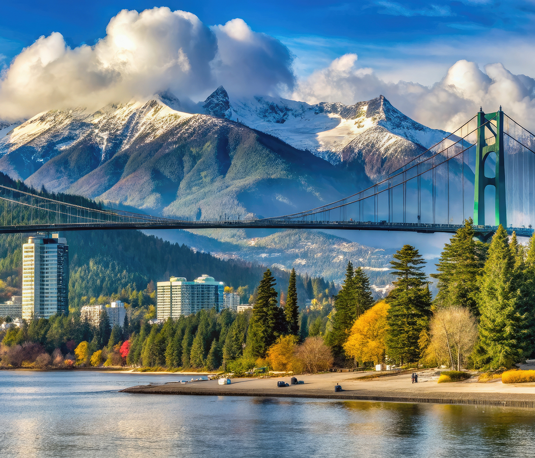
Set at the northern tip of Stanley Park near the Lions Gate Bridge and just steps from the First Narrows channel, this cliffside observation point rises above the tidal waters of Burrard Inlet where container ships, ferries, and recreational vessels pass through a narrow passage framed by steep forested slopes and the North Shore Mountains. Visitors are positioned directly above one of the busiest maritime arteries on the Pacific coast, with uninterrupted sightlines spanning the Lions Gate Bridge span, the open inlet, and the shifting urban edge of Downtown Vancouver in the distance. Historically known by the Squamish name Chay-thoos, meaning “high bank,” the site functioned as a natural lookout long before becoming integrated into Stanley Park's designed public landscape. The result is a destination defined by coastal scale, layered cultural geography, and one of Vancouver's most commanding panoramic viewpoints.
What you should know about Prospect Point Lookout.
Prospect Point Lookout is best known for being the highest accessible viewpoint within Stanley Park, offering direct panoramic views over the First Narrows of Burrard Inlet where tidal currents, maritime traffic, and the Lions Gate Bridge converge at a critical maritime chokepoint in Vancouver's harbor system. The location has long served as both a natural observation point and an early maritime signal station due to its elevated position above the narrow channel connecting English Bay to the inner harbor, later becoming formalized within Stanley Park's late 19th-century landscape planning structure.
Today, the site is anchored by viewing terraces, interpretive signage, and visitor facilities that frame continuous views of shipping lanes, cruise vessel passage, and the surrounding coastal mountains while preserving the steep cliffside geology carved by glacial retreat thousands of years ago. The lookout remains one of the most visited points in Stanley Park due to its direct visual alignment with major regional infrastructure and its role as a transition between forested parkland and active harbor environment. Its combination of accessibility, elevation, and maritime visibility makes it one of Vancouver's most significant public viewpoints.
How to fold Prospect Point Lookout into your trip.
Prospect Point Lookout works as the northern focal point of a Stanley Park itinerary combining coastal trails, forest pathways, and waterfront viewpoints.
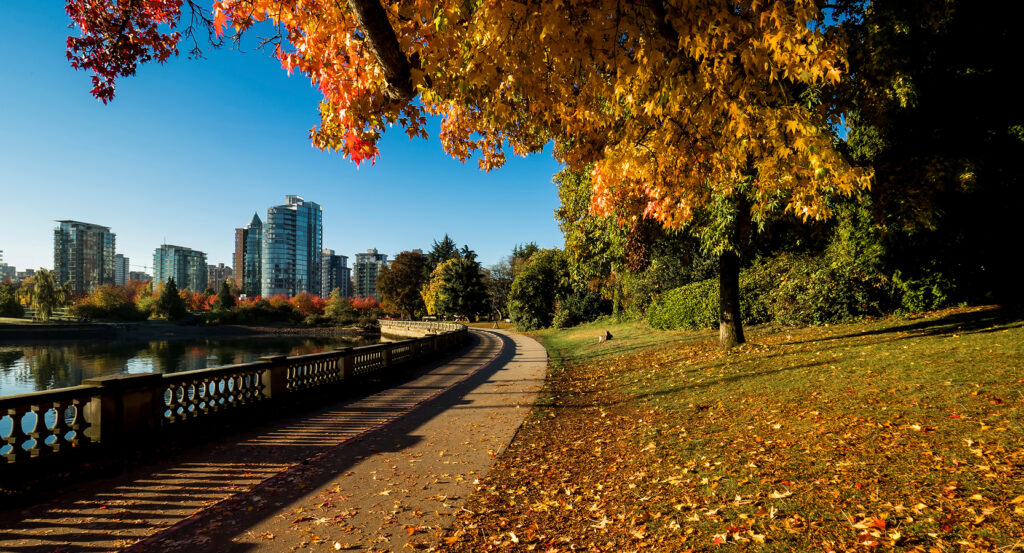
Begin at Stanley Park Seawall, where continuous oceanfront walking routes introduce the park's interface between forest and sea before following inland paths that gradually ascend toward Prospect Point Lookout. Continue to Lions Gate Bridge viewpoints, where multiple angles reveal the engineering scale of the bridge as it spans Burrard Inlet above active shipping lanes and tidal currents. Conclude at Brockton Point Lighthouse, where historic navigation infrastructure and totem pole displays provide cultural and maritime context to the broader park landscape. The progression moves naturally from shoreline circulation to elevated harbor overlook to historic navigation landmark, revealing why Prospect Point remains one of Vancouver's defining intersections of nature, infrastructure, and city edge.
Where your story begins.
Foresyte Travel reveals places that feel extraordinary long before you arrive.
Experience premium editorial crafted for luxury travelers.